Miyar Valley Trek – Whispers of Miyar
$1550 per person
Nestled deep in the remote Lahaul region of Himachal Pradesh, the Miyar Valley Trek (also known as Thanpattan Trek) is an undiscovered Himalayan treasure. Often called the “Valley of Flowers of Himachal”, this trail offers a perfect mix of raw Himalayan beauty, solitude, and traditional Buddhist culture.
Unlike commercial trekking routes, the Miyar Valley Trek remains peaceful and uncrowded, ideal for those seeking both serenity and adventure.
Cultural and Historical Significance
Historically, the Miyar Valley Trek was part of a significant trade route that linked Lahaul, Zanskar, and Ladakh. Traders once crossed high-altitude passes like Umasi La (5,300 m) to exchange wool, salt, and barley. These trade exchanges brought together Tibetan and Indian cultures, influencing the valley’s architecture, dialects, and religious practices.
Even today, the blend of Tibetan Buddhism and Himachali traditions can be seen in the lifestyle and rituals of local communities.
Trek Details
Region: Lahaul, Himachal Pradesh
Starting Point: Shukto Village
Max Altitude: 4,000 m (Miyar Glacier); Umasi La nearby at 5,300 m
Duration: 11 Days
Difficulty: Moderate
Best Time: June to September
Key Highlights of the Miyar Valley Trek
Trek through colorful alpine meadows and dramatic glacier basins
Peaceful, uncrowded route ideal for offbeat explorers
Traditional Buddhist villages and monasteries en route
Stunning views of peaks like Castle Peak and Menthosa
Culturally rich trail once part of an ancient trans-Himalayan trade route
Why Choose the Miyar Valley Trek?
This moderate-level trek is suitable for both seasoned trekkers and first-timers. It begins from the peaceful village of Shukto and ascends through wildflower meadows, glacial streams, and into the dramatic upper reaches of the Miyar Glacier.
Along the way, you’ll encounter traditional Buddhist villages, each offering a unique view into the spiritual and cultural fabric of the Lahaul Valley.
Day 01: Arrival in Delhi – Airport Pick-up & Hotel Stay in Delhi
Day 02: Arrive at Bhuntar Airport
- Meet & Greet: Our representative will receive you at Bhuntar Airport.
- Transfer to Manali (Distance: 50 km / 1.5-2 hours)
-
- Scenic drive along the Beas River.
- Check-in to pre-booked hotel in Manali.
- Light meals recommended.
- Relax and let your body adjust to the mountain air.
- Avoid strenuous activity on Day 1.
- Safety protocols
- Route overview
- Emergency & backup plans
- Document verification
Day 03: Manali- Urgos (130km): 5-6 hrs.
Day 04: Urgos- Shukto(3470m) and hike to Doksa(3680m) : 3-4hrs
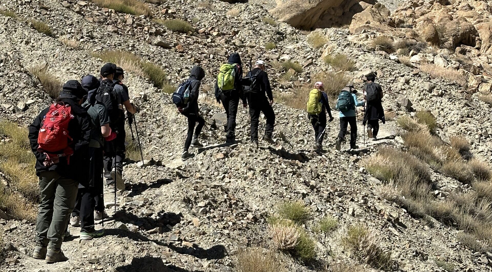
- Occasional have rocky patches and narrow cliffside paths.
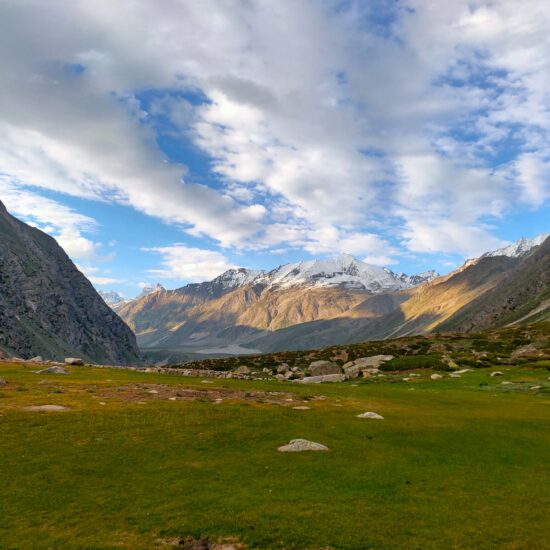
- Trail has lush meadows and wildflowers (especially in June–August).
- One can see yak herders and Gaddi shepherds.
- Stunning views of alpine cliffs and the river gorge.
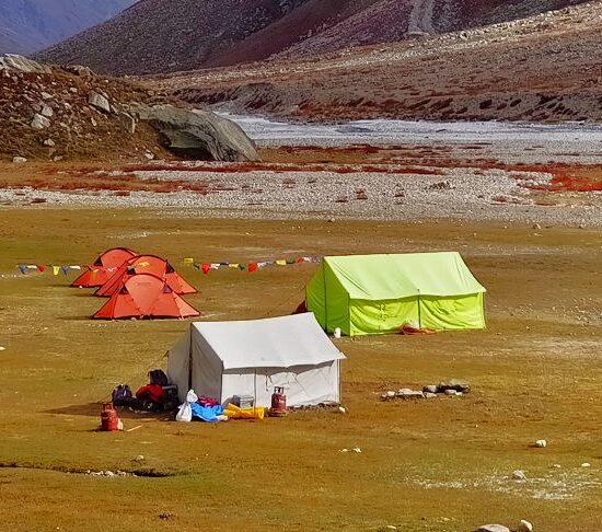
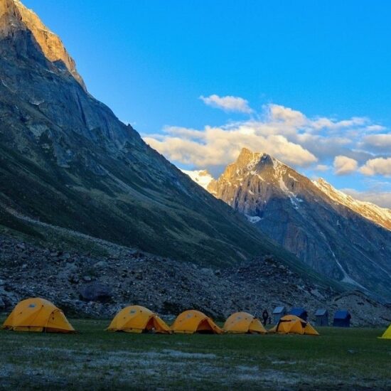
- Camping at Doksa: Set on flat meadows, surrounded by massive granite walls, perfect for stargazing and acclimatization.
Day 05: Doksa-Thanpattan(Tharang)(3750mts): 8–9 km:(3-4hrs.)
- The trail continues to follow the Miyar Nala, often weaving through open alpine meadows.
- You may traverse glacial moraines, grassy pastures, and soft undulating hills.
- Occasional small stream crossings – generally manageable without technical gear.
- A few sections are exposed but not technical or risky.
- This region is abundant in wildflowers (especially in July-August), with purple, yellow, and white blossoms carpeting the meadows.
- Bird sightings: Himalayan snowcock, golden eagles, and migratory warblers.
- You might spot marmots, blue sheep (bharal), or tracks of larger wildlife like foxes.
- The views are stunning: granite cliffs, snowy peaks, and the winding river create a dramatic Himalayan amphitheater.
- Plenty of space to set up tents and a stream nearby for water supply.
- Some routes and operators refer to this as Tharang, which is part of the same broader camping zone near the Miyar Glacier approach.
Day 06: Tharang to Zardung(3880mts): 7–9 km(5-6hrs.)
Day 07: Zardung- Kesar yon Chaap (3990mts) : 4-5hrs.
Day 08: Kesar yon Chaap-MiyarGlacier(4550mts)- Kesar Yon Chaap: 4-5 hrs:(6–7 km one way (12–14 km return))
Day 09: Miyar Glacier-Gompa(3990mts): 7hrs.
Day 10: Gompa –Shukto to Udgos: 4-5 hrs.
Day 11: Udgos to Manali.
Day 12: Buffer / Reserve / Departure Day
Leave a Reply
- High-quality alpine tents (twin sharing basis)
- Season-rated sleeping bags and insulated sleeping mats
- All essential camping gear provided and set up by our team
- All meals included: Nutritious vegetarian breakfast, packed lunch, evening tea/snacks, and hot dinner
- Boiled or filtered drinking water provided daily
- Experienced trek leader and certified mountain guide
- Skilled cook and kitchen team
- Camp helpers and porters/mules for luggage and equipment transport
- Pick-up and drop-off as per the trek itinerary (from base location)
- Comprehensive first-aid kit with basic high-altitude medications
- Oxygen cylinder available for emergency use (on high-altitude treks)
- Participants need only carry a light daypack with essentials (water bottle, snacks, jacket)
- Main backpack/duffel (up to 10 kg) will be carried by porters/mules
- Travel & Rescue Insurance
- Personal Expenses
- Unexpected Costs
- Town-Based Costs
- Gratuities
- Anything Not Mentioned Above


