Parang La Pass Trek – A Legendary Himalayan Expedition
$2300 per person
The Parang La Pass Trek is one of the most thrilling and challenging high-altitude treks in the Indian Himalayas. This remote trail connects Spiti Valley in Himachal Pradesh with Tso Moriri Lake in Ladakh, crossing the formidable Parang La Pass at an altitude of 5,580 meters.
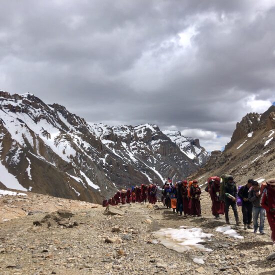
Historically, this path was part of an ancient trade route used by nomadic herders, traders, and possibly monks. Therefore, the journey is not just physical but deeply cultural and spiritual. Today, it is a favorite among seasoned trekkers who crave raw landscapes, solitude, and adventure.
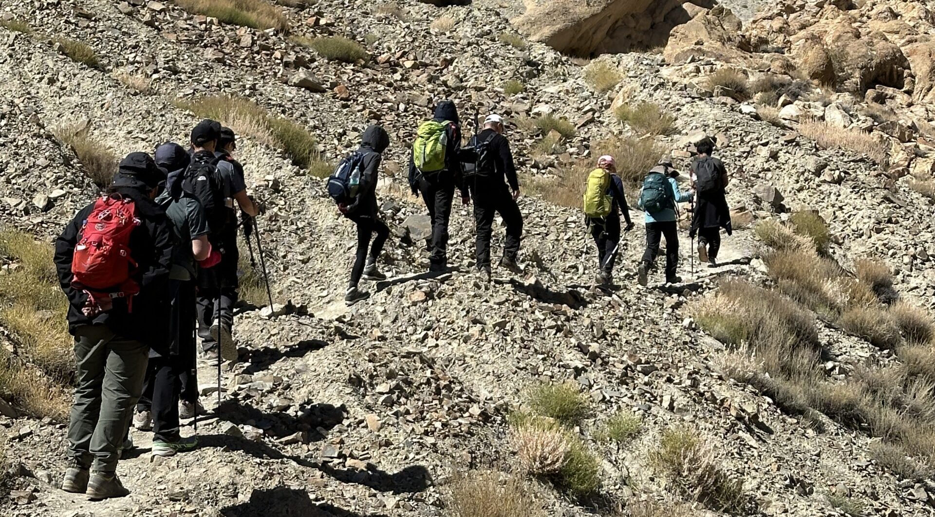
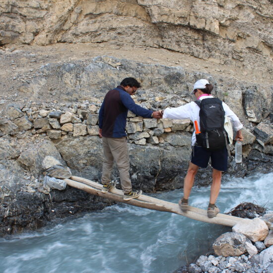
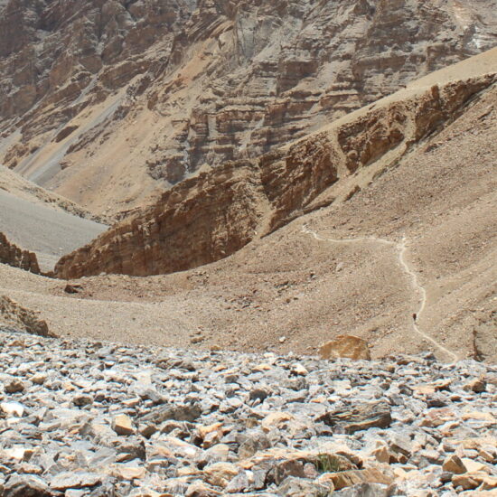
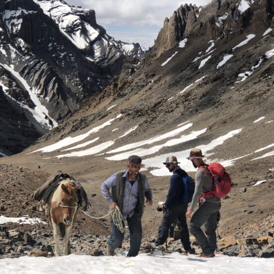
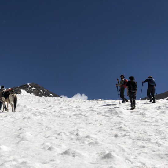
The trek usually begins from Kibber village, near Kaza in Spiti. From there, you traverse barren landscapes, climb over glacial terrain, and cross the mighty Parang La Glacier. This glacier crossing is one of the toughest parts of the trek. Moreover, the silence of the Trans-Himalayas adds to the sense of awe and remoteness, broken only by the wind and crunch of your boots on the scree.
In addition to its rugged terrain, the region is home to rare Himalayan wildlife. You may spot blue sheep, marmots, ibex, and, if you’re extremely lucky, even a snow leopard. As a result, this trek offers not only scenic beauty but also a chance to witness untouched Himalayan ecosystems.
The final descent is nothing short of magical. You reach Tso Moriri Lake, a high-altitude turquoise lake set against a vast desert plateau. Therefore, the sense of reward and peace you feel at the end is unlike any other trek in India.
Due to its altitude, remoteness, and glacier crossings, this trek is suitable only for well-acclimatized and experienced hikers. Consequently, it is best attempted between mid-July and early September, when the weather is more stable and snow conditions are manageable.
Trek Details
Altitude: 5,580 meters
Location: Between Spiti (HP) and Ladakh (Rupshu region)
Coordinates: 32.57°N, 78.21°E
Duration: 9–12 days (depends on route and pace)
Difficulty: Challenging – glaciers, altitude, and remoteness
Best Time: Mid-July to early September
Route: Dumla (Spiti) to Karzok (near Tso Moriri Lake, Ladakh)
Highlights
Ancient Himalayan trade route between Spiti and Ladakh
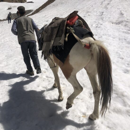
Trek across the tough Parang La Glacier with rope-assisted sections
End at Tso Moriri Lake, one of Ladakh’s most serene alpine lakes
Chance to spot blue sheep, ibex, marmots, and rare snow leopards
Surreal landscapes resembling the Tibetan Plateau
Why Choose the Parang La Pass Trek?
What makes the Parang La Pass Trek special is not just the physical challenge, but the final reward: a mesmerizing descent to Tso Moriri, a turquoise lake untouched by crowds. This combination of stark desert, icy glaciers, and vast alpine lake is rare — even in the Himalayas.
Parangla Pass
-
Destination
Day 01: Arrival in Delhi – Airport Pick-up & Hotel Stay in Delhi
Stay: 4/5 star Hotel in Delhi Altitude: 216m
Day 02: Arrive at Bhuntar Airport
- Meet & Greet: Our representative will receive you at Bhuntar Airport.
- Transfer to Manali (Distance: 50 km / 1.5-2 hours)
-
- Scenic drive along the Beas River.
- Check-in to pre-booked hotel in Manali.
- Light meals recommended.
- Relax and let your body adjust to the mountain air.
- Avoid strenuous activity on Day 1.
- Tour orientation:
-
- Safety protocols
- Route overview
- Emergency & backup plans
- Document verification
Day 03: Manali – Kaza(3,800 m): 200 km
Day 04: Kaza
Day 05: Drive to Kibber(4270m): Camp in Dumla(4200m)
Day 06: Dumla to Thaltak Meadow(4690m): 9–10 km: 5–6 hrs
Day 07: Thaltak to Borochin(Base of Parangla Pass)(4800m):8-10kms: 6-7hrs Day 06: Thaltak to Borochin(Base of Parangla Pass)(4800m):8-10kms: 6-7hrs
Day 08: Borochin to Kharsa Yongma(4900m) via Parang La(5580m): 8–10 hrs:14–16 km
Day 09: Kharsa Yongma to Datang Yongma(4750 m): 13–14 km: 5–6 hrs
Day 10: Datang Yongma to Chumik Shilde (4650m):14-15kms:6-7hrs.
Day 11: Chumik Shilde(4650m)- Kiangdom(4530m):16-18kms:6-7hrs
Day 12: Kiangdom rest day
Day 13: Kiangdam – Karzok(4530m)
Day 14: Karzok to Leh(260kms) / Karzok to Manali(550kms)
- Kyangdam - Nuruchan(4550m): 18–20 km: 6–7 hours
- Nuruchan - Horlam Kongka La(4900m) - Rajung Karu(4900m): 14–15 km: 5–6 hours
- Rajung Karu - Polo Kongka La (4950 m) - Gyama La(4600m): 14–16 km
- Gyama La- Tso Kar Lake - Thukje or Puga village(4530m): 12–14 km: 4–5 hours
Day 15: Buffer / Reserve / Departure Day
Leave a Reply
- High-quality alpine tents (twin sharing basis)
- Season-rated sleeping bags and insulated sleeping mats
- All essential camping gear provided and set up by our team
- All meals included: Nutritious vegetarian breakfast, packed lunch, evening tea/snacks, and hot dinner
- Boiled or filtered drinking water provided daily
- Experienced trek leader and certified mountain guide
- Skilled cook and kitchen team
- Camp helpers and porters/mules for luggage and equipment transport
- Pick-up and drop-off as per the trek itinerary (from base location)
- Comprehensive first-aid kit with basic high-altitude medications
- Oxygen cylinder available for emergency use (on high-altitude treks)
- Participants need only carry a light daypack with essentials (water bottle, snacks, jacket)
- Main backpack/duffel (up to 10 kg) will be carried by porters/mules
- Travel & Rescue Insurance: All participants are required to carry personal travel and emergency evacuation insurance
- Personal Expenses: Expenses such as phone calls, laundry, bar bills, battery charging, and additional porters/horses if required.
- Unexpected Costs: Any expenses arising due to unforeseen circumstances beyond the itinerary (e.g., weather delays, route changes, natural calamities).
- Town-Based Costs: Any meals, drinks, or accommodation outside the trekking route (in towns or cities) are not included.
- Gratuities: Tips for trekking staff, guides, and support crew are not included (though appreciated).
- Anything Not Mentioned Above: Any services or items not explicitly listed under “Inclusions” are to be considered additional.


